


 27 / 130

[
] 27
access
to
water
and
sanitation
for
all
water management practices like flood-irrigating fields rather
than using furrows for row crops. Given these complexities,
measurement has therefore been challenging, but WP assess-
ment based on remote monitoring is now able to account
for evapotranspiration – the sum of evaporation and plant
transpiration from the land surface to the atmosphere –
rendering a more accurate picture of efficiency.
With greater competing demands, climate change and
increasing pressures on finite water resources, it is the
output from a unit of water, including considerations such as
income, jobs, and nutrition which become as critical as agri-
cultural yield. The concepts of “crop per drop” or “cash per
splash” encapsulate the need to maximise economic output
from a unit of water rather than to focus on the efficiency of
what is produced.
Technology revolutionising irrigation
Remote sensing to measure agricultural WP
Until now, neither farmers nor irrigation agencies have been
able to measure the amount of water used to grow a kilogram
of crop and how that production equation varies across an
irrigation system. Remote sensing technology allows WP to
be measured at the farm level, and can be mapped to demon-
strate areas where champion farmers are producing more
crop with the same volume of water.
Measurements are based on energy balance, considering
crop evapotranspiration and biomass produced. Remote
sensing data from satellites provides information on land use,
crop type, soil moisture, and land surface temperature. Open
source data from Landsat and Sentinel from the European
Space Agency, and MODIS from NASA, provides suitable
information with which to calculate how much water is
consumed by a particular crop to grow a kilogram of biomass.
The technology does require field work for ground truth-
ing crop types and understanding farmers’ land and water
management practices. But it also provides a significant
advance in information availability concerning vast areas of
irrigated land. Farmers and irrigation system operators and
managers can, for the first time, see how water availability
affects crop production.
It is not always the case that farmers with an abundance
of water are doing better in terms of yield of crop produced.
This is best illustrated by the pioneering application of
remote sensing for WP in irrigation recently undertaken by
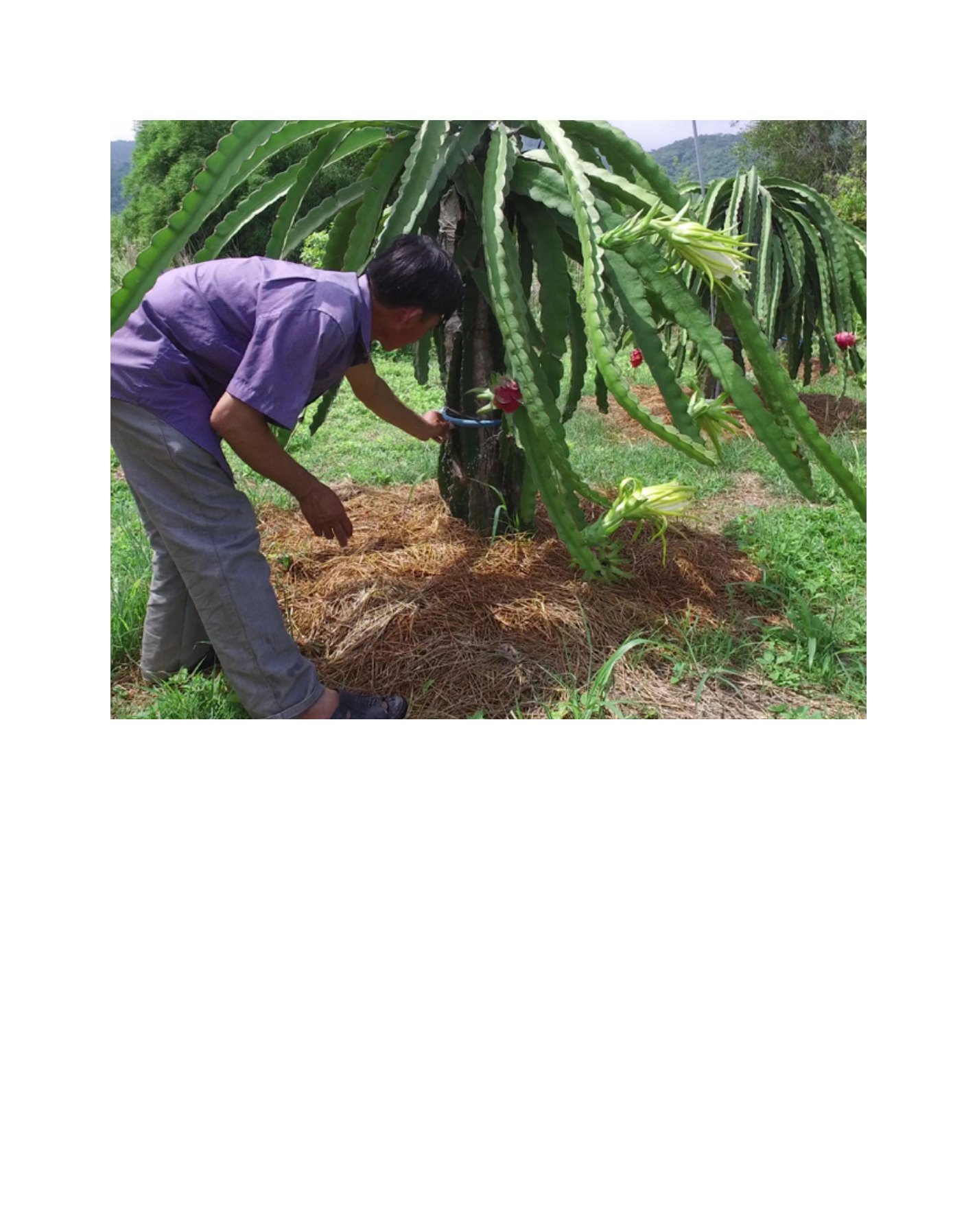
Farmer Nguyen Tan Dan adjusts drip irrigation system he designed for dragon fruit in Binh Thuan Province, Viet Nam
Image: ADB